Introduction
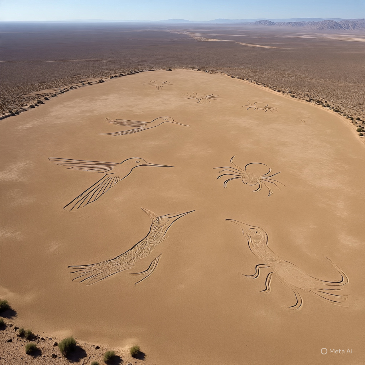
Stretching across nearly 1,000 square kilometers of arid desert in southern Peru are thousands of lines, geometric shapes, and massive drawings of animals and plants. Known as geoglyphs, these figures—hummingbirds, spiders, monkeys—are so large that they are best appreciated from the air. Created by the Nazca culture over a thousand years ago, their purpose remains one of archaeology's most enduring debates.
Historical / Background Context
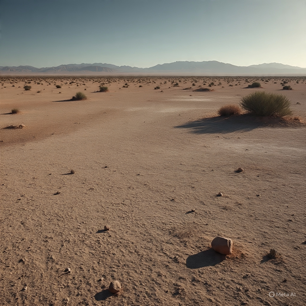
The Nazca people flourished in an isolated, arid river valley. Water was their most precious resource. They were an advanced civilization known for their polychrome pottery and complex systems of underground aqueducts called puquios. The lines were created during the height of their culture, before eventual ecological collapse led to their decline.
Discovery or Origin
While local inhabitants likely knew of the lines, they were first brought to the wider world's attention in the late 1920s by Peruvian archaeologist Toribio Mejía Xesspe. However, it wasn't until the 1930s, when pilots flew over the Nazca Pampa, that the sheer scale the figures became apparent for the first time.
Evidence and Known Facts
The construction method was deceptively simple: the Nazca people removed the reddish-brown iron oxide-coated pebbles that cover the desert surface to reveal the light-colored clay earth beneath. Because of the extremely dry, windless, and stable climate of the Nazca plateau, these markings have been preserved naturally for centuries.
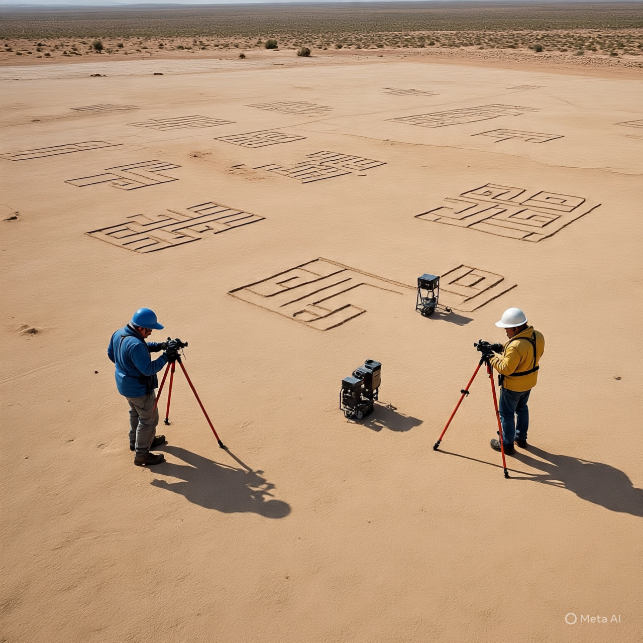
Investigations and Research
Maria Reiche, a German mathematician, dedicated her life to studying the lines. She believed they were a massive astronomical calendar, with lines pointing to the rising and setting of stars. Later researchers, like Johan Reinhard, proposed that the lines led to places where rituals were performed to obtain water and fertility for crops—a "sacred geography."
Theories and Interpretations
Archaeological consensus rejects the idea of "ancient aliens" or landing strips. Instead, theories focus on:
- Water Rituals: Lines functioning as processional paths for ceremonies praying for rain.
- Astronomy: Alignments with solstices or constellations (though not all lines fit this model).
- Labyrinthine Paths: Many figures are drawn with a single continuous line, suggesting they were meant to be walked upon, not just viewed from above.
What Remains Unexplained
While we know how they were made, the exact motivation for such a colossal undertaking remains a topic of nuance. Recent AI-driven studies continue to discover faint, previously unknown geoglyphs, indicating the site is even more complex than originally thought.
Current Status
The Nazca Lines are a UNESCO World Heritage Site. They face threats from squatters, illegal mining, and climate change. Conservation efforts are ongoing to protect these fragile masterpieces of human ingenuity.
Sources
- UNESCO World Heritage Centre - Lines and Geoglyphs of Nasca.
- The Nazca Lines: A New Perspective on their Origin and Meaning by Johan Reinhard.
- Yamagata University Nazca Institute Reports.
- National Geographic Archaeology Archives.
Disclaimer
This story is presented for educational and informational purposes only. It is based on publicly available historical records, academic research, and documented investigations. The website does not claim definitive conclusions where none exist.